New project to protect the Mediterranean’s seagrass
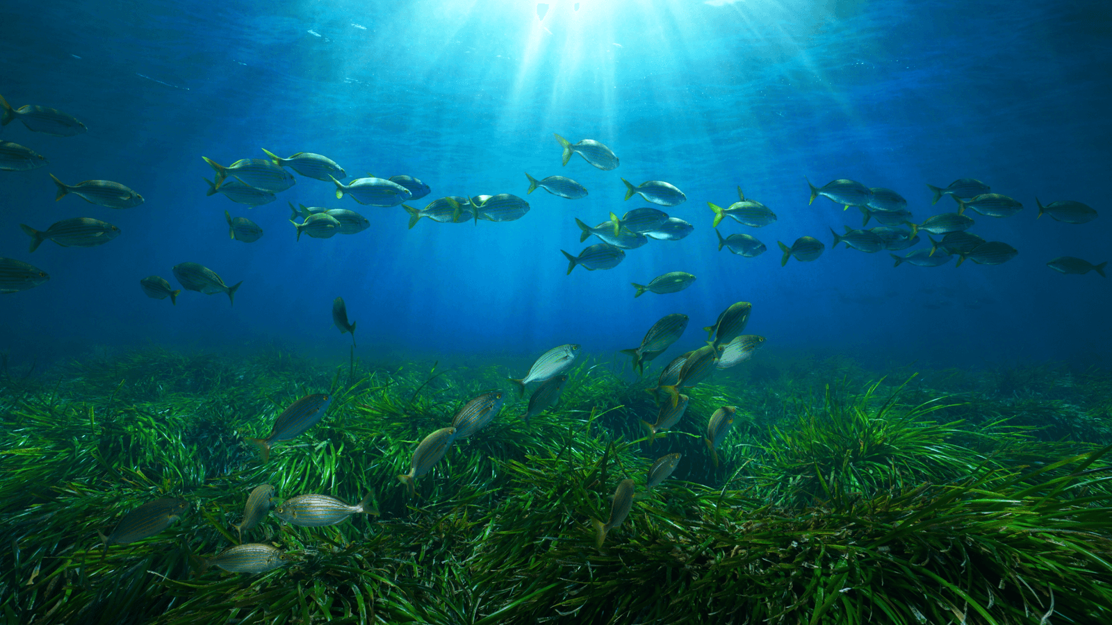
Off the Greek coast are underwater meadows of Posidonia seagrass. Often referred to as ‘the lungs of the Mediterranean’, these unique endemic species are vital to the sea’s ecosystem. They create a valuable home for marine life, limit coastal erosion, absorb carbon dioxide and produce large amounts of oxygen.
Working with the Oceanus Lab at the University of Patras, Vodafone Foundation Greece is helping to map these precious underwater meadows.
Mapping seagrass
The Vodafone Posidonia programme started with mapping Posidonia in the Aegean Sea, around the island of Syros in September.
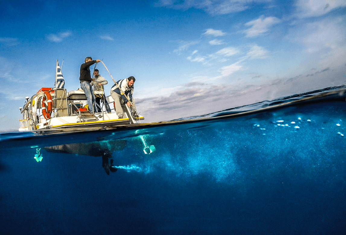
Advanced sonar systems, autonomous underwater vehicles and unmanned surface vehicles were used to capture the texture and footage of the seabed, creating robotic mapping. Vodafone’s network ensured the systems could communicate and that data was easily transmitted.
A total of 41.10 square kilometres of seabed in this area has now been mapped, up to about 50 metres deep, and 30 underwater shots were carried out around the island within 10 hours.

This has given experts great insights and the opportunity to study the seagrass in this area, including the height of the foliage, the seabed type and the sediment thickness. At the same time, scars from anchors were found, highlighting the significant pressures that these meadows are under from ships, just one of the factors that threaten their survival.
Researchers also detected the presence of the Red Sea’s Caulerpa racemosa algae in various areas around Syros, which could be a threat to Posidonia Oceanica because of its fast-spreading, invasive nature.
Creating a detailed picture of Posidonia
The largest area of Posidonia was observed in the area south of Hermoupolis, while meadows were found on all known beaches and coasts of Syros.
The next phase of the mapping project involves analysing and processing the data collected, to form a more detailed picture of Posidonia in Syros.
The islands of Paros and Antiparos are next on the list, as are Mykonos and Delos which are scheduled for the project in Spring.
Once completed, the partners of the programme will create a digital platform called ‘Citizen Science’, which will be updated in real-time through the Vodafone network with visual material and data from the research and will enable members of the public to upload their own material and the locations where they encounter Posidonia meadows.
In addition, there will be an underwater observatory that will provide live footage and marine data to the platform. Allowing scientists and the public to monitor the sea and its environmental pressures from afar.
Protecting for the future
At a time of climate deregulation and ecological crisis, this research is a very important step towards the protection and conservation of this unique species.
These underwater meadows are a refuge for more than 1,400 species of marine flora and fauna and help protect the Greek coastline from erosion. More importantly, the Greek Posidonia meadows produce an estimated 24 million tonnes of oxygen per year and absorb 15 times more carbon dioxide than Amazon forests.
At Vodafone, we know we have a key role to play in using our digital networks and technologies to address climate change and look forward to continuing our work with the Oceanus Lab, protecting Posidonia Oceanica and the natural world for the benefit of future generations.
More stories
No results found