Connected drones
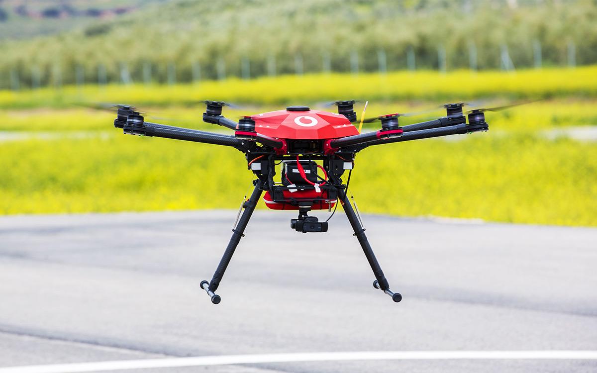
Our drone coverage API allows companies to produce coverage maps using intelligence from the network.
Drone companies can use these maps to easily plot a pre-determined flight path for a drone, avoiding obstacles or crowded areas while ensuring it has constant contact with a control centre.
This enables drones to be flown safely beyond the line of sight – a crucial step in developing the next stage of products and services built on connected drone technologies.